21 Apr Sonar Cavity Surveys

Newcastle NSW CBD redevelopment risk mitigation tool – application of wireline-deployed sonar system for cavity surveys.
Abstract
The Newcastle CBD has a long and expensive history of damage events to its buildings and infrastructure; otherwise known as its “built environment”.
The first of these events was in the form of three major episodes in 1906 which the 1908 Royal Commission determined were related to the yielding and collapse of large areas of old mine workings which underlay parts of the CBD.
The most recent major event was the 1989 earthquake which caused significant structural damage resulting in expensive repairs to many buildings and the demolition of others. The consequent review of the impacts of the earthquake saw new building restrictions imposed which limited the type and height of future structures and noted that any failure of remaining old mine workings in response to future earthquake activity had the potential to greatly exacerbate the impact on the overlying built environment. In this regard, the use of backfill or grout to enhance the stability of the old workings has become a fundamental tool.
The Newcastle CBD is currently experiencing an unprecedented redevelopment phase with the renovation of some existing sites along with the construction of a number of new, multi-story buildings. Much of this activity is located over old workings where up to two coal seams have been extracted, and in areas affected by significant faulting. Unfortunately it is now widely accepted that the plans of these old workings, if and where they exist, are often inaccurate and cannot be relied upon to provide an accurate guide for the location and quantity of grouting required to stabilise the underlying workings.
While earthquake events are not readily predictable nor controllable, remote sensing investigations of the remnant mining cavities are now possible so as to accurately determine their orientation, size and condition. This information can then be used to accurately design and optimise the volume and placement of grout to mitigate the impact of future events and maximise the cost effectiveness of the ground stabilisation process.
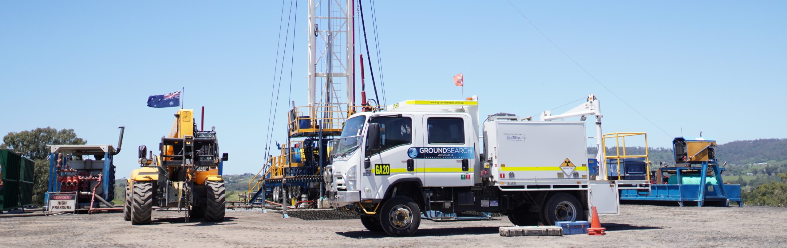
Groundsearch has successfully demonstrated the practical and economical use of a wireline-deployed, sonar system for dimension and condition surveys of a major coal seam cavity intersected in a standard geotechnical borehole at a site in the Newcastle CBD. The data enabled the production of accurate 2D and 3D models, true spatial orientations and genuine quantitative dimensions for the cavity, thereby providing a detailed assessment of the physical characteristics of the remnant cavity to the highest confidence level available to date.
The data provided by the sonar system can significantly increase confidence levels when assessing the risk associated with old mine workings, as well as, providing the detail required to optimise any related ground stabilisation design.
The sonar system technology has the potential to mitigate the impact of poorly-defined, remnant workings on the built environment by reducing the uncertainty surrounding the effective design of ground stabilisation operations.
John Lea – BSc (Hons) FAusIMM
Managing Director – Groundsearch Australia Pty. Limited
No Comments